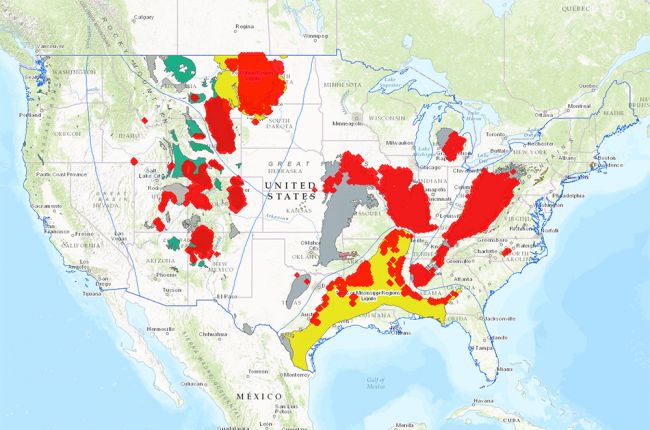
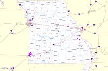
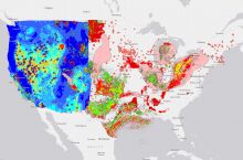
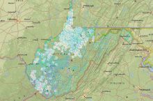
The U.S. Geological Survey's National Coal Resources Data System comes with an interactive map that provides a huge amount of information on the distribution, thickness, and classification of coal in the United States.
The interactive map contains over 250,000 data points, each typically representing a core sample, drill hole, or driller's log in a specific location. You can use the "Filter" tool to focus in on specific areas, or on data collected by specific organizations. Commonly available data include:
- High-resolution location details
- Total depth logged
- Stratigraphic information, including lithology, thickness, formation, bed, and subzone
- Related units
- Estimated coal rank
- Date information was last updated
Additional layers include the age and rank of coal fields, and the bounding lines between different coal provinces.
All data can be downloaded for further use and analysis.
Click here to access the interactive map.
Source: U.S. Geological Survey.

