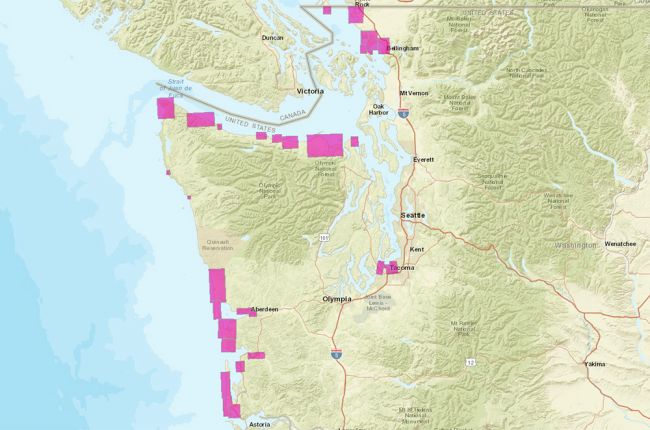
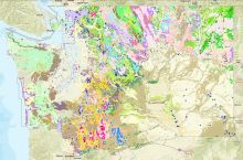
The Tsunami Evacuation Map from the Washington Division of Geology and Earth Resources provides a large amount of information about tsunami evacuation procedures for the state of Washington. Each of the shaded areas in the image above can be zoomed in on for more detailed information including:
- Evacuation zones
- Evacuation routes
- Evacuation assembly areas
- Local landmarks
Links are also provided for tsunami evacuation brochures for individual areas, and the map can be searched by street address so that users can see tsunami evacuation for their home, school, workplace, or other location.
Click here to access the Washington Tsunami Evacuation Map.


