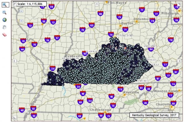
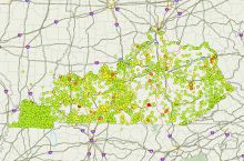
The Kentucky Geological Survey provide an interactive map of water wells and springs in Kentucky. Users can explore the map to find more detailed information for each feature, including the type of spring, well depth, primary well use, and links to well and spring reports. The map also includes outlines of sinkholes in Kentucky.
Click here to access the Kentucky Geological Survey's interactive map.
Source: Kentucky Geological Survey


