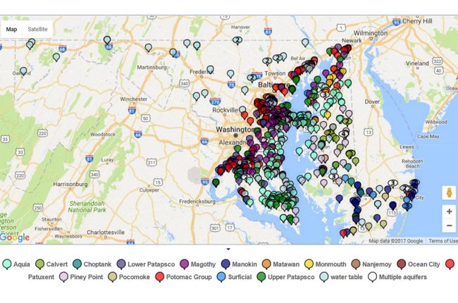
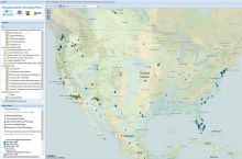
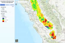
The Maryland Geological Survey, in cooperation with the U.S. Geological Survey, maintains a state-wide network of groundwater observation wells. The data from these wells is used to create an interactive map of groundwater levels in Maryland. The map provides both historical and recent groundwater reading levels across a range of aquifers in the state of Maryland.
Click here to use the interactive map.
Source: Maryland Geological Survey


