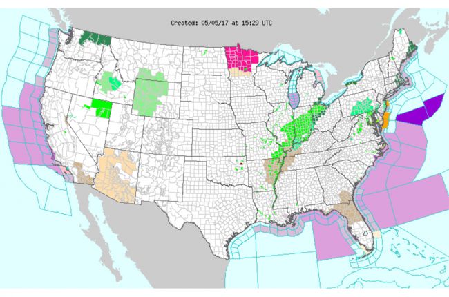
The National Oceanic and Atmospheric Administration's National Weather Service Watch, Warning, and Advisory Display map shows up-to-date weather warnings and advisories for the continental U.S. The map covers a wide range of weather hazards including tornadoes, thunderstorms, hurricanes, tropical storms, flash and coastal floods, blizzards, winter storms, snow, freezing rain and ice storms, and high winds.
Users can click on individual parts of the map for more specific information down to the county level.
Click here to use the National Weather Service Watch, Warning, and Advisory Display interactive map
Source: NOAA National Weather Service


