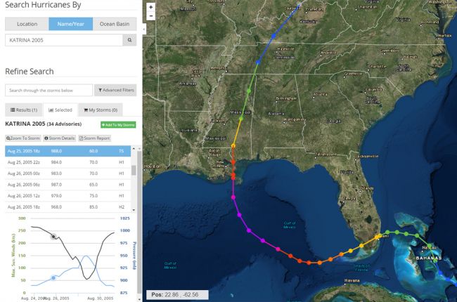
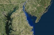
The National Oceanic and Atmospheric Administration's Historical Hurricane Tracks tool shows the tracks and characteristics of over 6,000 tropical cyclones around the world dating back to 1842.
In addition to the hurricane tracks, users can explore the category, wind speed, and minimum pressure of each hurricane at different points in its track.
A flexible search feature allows users to search by name, date, region, or specific location.
Click here to access the NOAA Historical Hurricane Tracks tool

