National Drought Mitigation Center (NDMC)
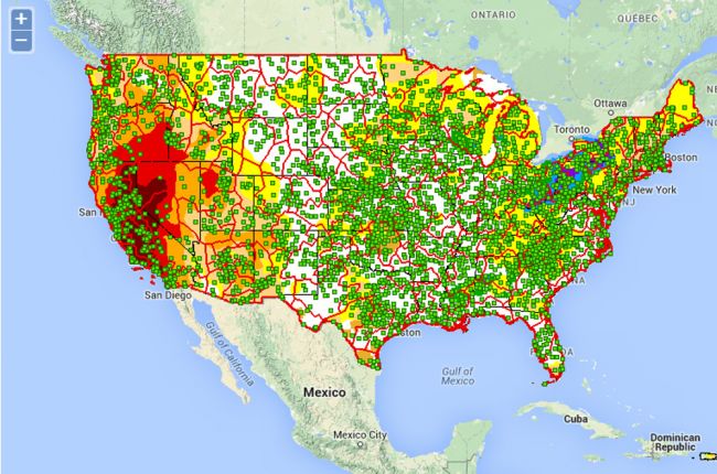
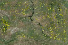
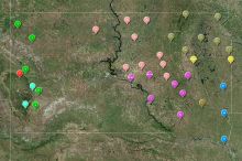
"The National Drought Mitigation Center Drought Atlas project is intended to provide a wide range of decision makers with historical drought information and a web-based tool to visualize and assess their risk to drought. Using a station-based approach, decision makers are allowed to find the station closest to their area of interest as well as a cluster of stations that statistically has shown similar precipitation attributes. The stations with the longest period of record, a minimum of 40 years, with the most complete record were used to compute both the climatological and drought information to provide users with information from the best station data available.
Why a drought atlas? Every time there is a drought event, the question is asked, “How does this drought compare……”, and the comparisons are usually to the last drought event, the drought of record for an area or a significant/historical drought that was remembered even outside of the area impacted. This information, up to this point, has not been readily available at individual stations, and more often than not has only been available for climate divisions. Information contained in the NDMC Drought Risk Atlas will answer all of these questions as well as provide a user-friendly portal to access these data.
The drought atlas project also realizes that not every drought index is ideal for every location. By providing several different indices with multiple time steps, the Drought Risk Atlas gives users a vast menu of options to study and investigate drought for their region to find which indicators and time steps are ideal for their location. It is hoped that the NDMC Drought Risk Atlas will be a valuable tool to help mitigate and lessen the impacts related to drought."
Click here to explore the interactive drought atlas.

