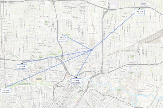
The U.S. Geological Survey's Water On The Go app provides real-time information on stream flows, lake levels, and rainfall in Texas. The app automatically finds data near your current location (or any chosen location in Texas) for rapid access to water information. Special icons indicate rapidly rising streams and lakes or heavy rain that may pose a flood risk.
Users can click on individual sites for current water levels, a graph of levels in recent days, and links to more data and information about the site.
Click here to access the interactive map.
Source: USGS Texas Water Science Center

