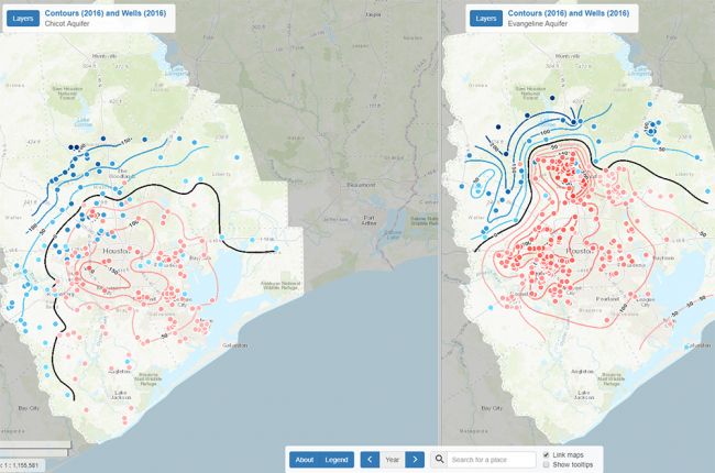
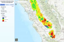
The U.S. Geological Survey provides an interactive map that allows users to view changes in groundwater levels and associated land subsidence since 1977 in the Houston-Galveston area.
The map uses annual data from over 800 wells, and shows changes in water levels in three major aquifers in the region: the Chicot, Evangeline, and Jasper aquifers.
Large-scale groundwater withdrawal results in the compaction of the aquifers, which causes land subsidence. Users can view water levels and individual well measurements, compare data side by side on a split-screen view, and obtain more detailed information about groundwater withdrawal and subsidence in the area.
The compaction and water-level data can be downloaded for further use and analysis.
Click here to access the interactive map.

