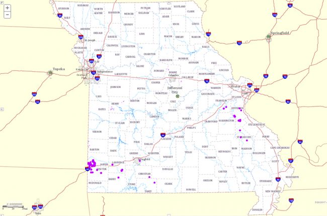
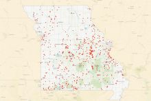
The Missouri Department of Natural Resources provides an interactive map of abandoned mines in the state. By clicking on individual sites or areas, users can find a variety of information, including:
- The commodity that was mined there
- The date and method of closure used (for mine shafts) and the cost of closure
- The depth and size of mine shafts
- Whether or not coal waste is present (for abandoned coal mine lands)
The map also provides links to more information about abandoned mine lands, data documentation, and contact information for users with additional questions.
Click here to access the interactive map.


