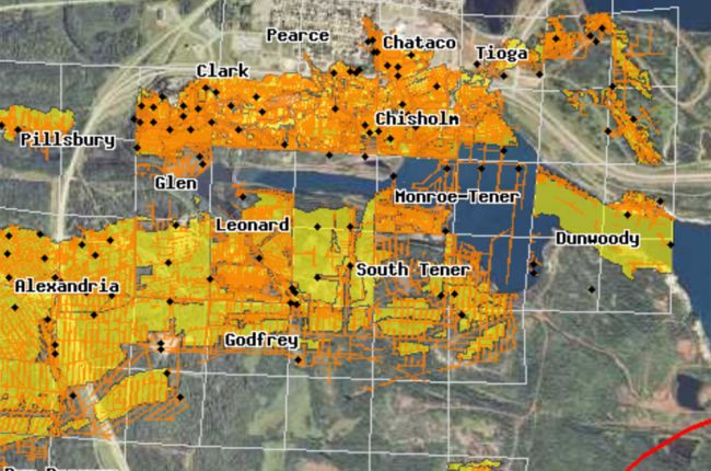
The Minnesota Department of Natural Resources provides an interactive map of underground mines in Minnesota. The map provides detailed information on underground mines and their relationship to overlying surface features. Specifically, this map focuses on iron mines in the northeast of the state.
Users can click anywhere on the map for more detailed information, including mine depths, mine types and names, and more detailed historical maps of the mines. Users should be aware that this interactive map does not provide a complete assessment of underground mines in the state: there may be additional mined areas not shown on this map.
Click here to access the interactive map.


