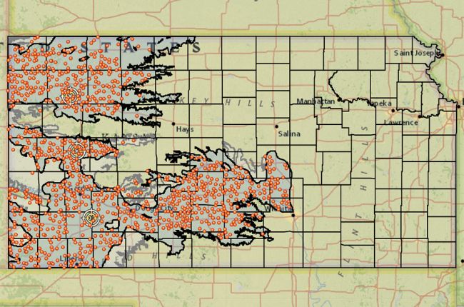
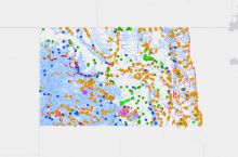
The Kansas Geological Survey's High Plains Aquifer Interactive Atlas provides a large amount of information on the High Plains Aquifer underneath western and central Kansas, which provides 70-80% of the water used in Kansas. Features of this interactive map include:
- Annual water level measurements for hundreds of wells across the state, with records for many wells going back to the 1960s
- Continuous water level data (reported every two hours) for three index wells distributed across western Kansas
- Extent of the saturated portion of the High Plains Aquifer beneath Kansas
- Areas of very low saturated thickness
Data for all wells can be downloaded for further use and analysis.
Click here to access the KGS High Plains Aquifer Interactive Atlas.
Source: Kansas Geological Survey


