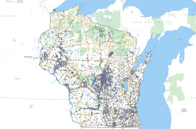
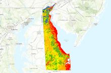
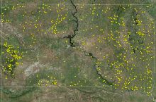
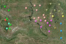
The Wisconsin Department of Natural Resources provides an interactive map with information on water use in Wisconsin. The Water Withdrawal and High Capacity Well Viewer provides information on:
- Pending and approved applications for high-capacity water wells
- Existing high-capacity wells and locations of large-scale surface water withdrawals
- Streams, lakes, and springs
- Water quality monitoring
- Groundwater protection features
Users can click on the area of an existing well to find more information on that well, including the operator, construction date, well capacity, and total annual water withdrawals since 2011.
Click here to access the interactive map.

