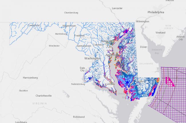
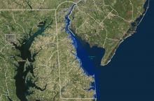
The Maryland Department of Natural Resources' Coastal Atlas provides a large amount of information on coastal issues in Maryland. The interactive map includes:
- Coastal resiliency assessments and sea level rise vulnerability
- Storm surge predictions for category 1-to-5 hurricanes
- Rates of shoreline change and historical shorelines back to the mid-19th century
- Blue infrastructure ranks
- Hydrology - watersheds, lakes, rivers, and streams
- 100- and 500-year floodplains
- Land use and land cover
- Wetlands and salt marshes
- Offshore wind energy
Other layers include information about habitats for fish, birds, amphibians, reptiles, shellfish, and submerged aquatic vegetation, as well as bathymetric data, artificial reefs, and areas for recreational use.
In addition to online use, these data can also be downloaded for further use and analysis.
Click here to access the Maryland Coastal Atlas.


