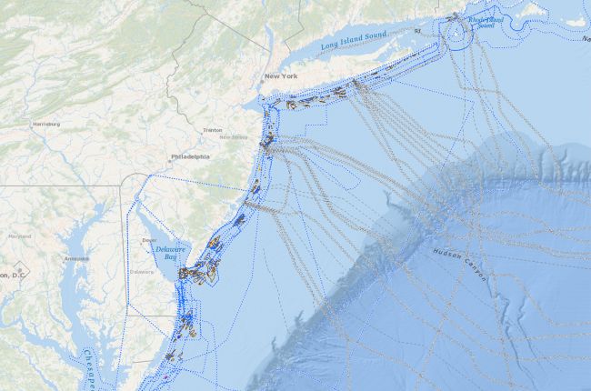
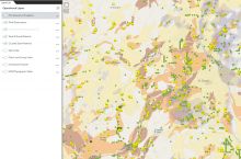
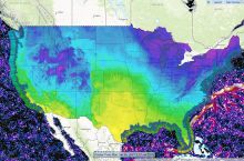
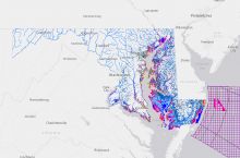
The Bureau of Ocean Energy Management's Marine Minerals Information System (MMIS) provides an interactive map with information on offshore sand and gravel resources for 18 states on the Atlantic and Gulf coasts of the United States. The system includes:
- Sand and gravel resources
- Marine mineral lease and dredge areas
- Sediment core and water samples
- Surficial sedimentary geology, including sediment composition and thickness
- Submarine cables, wrecks, pipelines, drilling platforms, and other obstructions
- Bathymetric survey data
Data and maps can be downloaded for further use an analysis.
Click here to access the interactive map.


