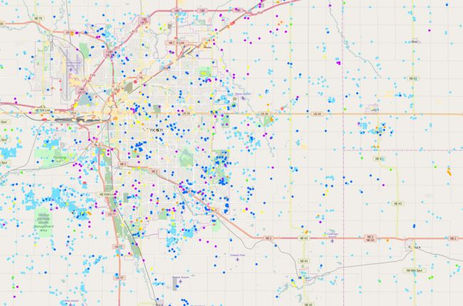
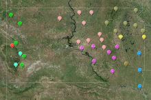
The Nebraska Department of Natural Resources provides an interactive map of water wells in the state. Wells are color-coded by use, and include geothermal, injection, irrigation, domestic, monitoring, and commerical wells, plus many other types. Users can click on each well to access registration and ownership information.
Additional map layers include transportation, aerial photography, and lakes and rivers.
Click here to access the Nebraska DNR's map of water wells.


