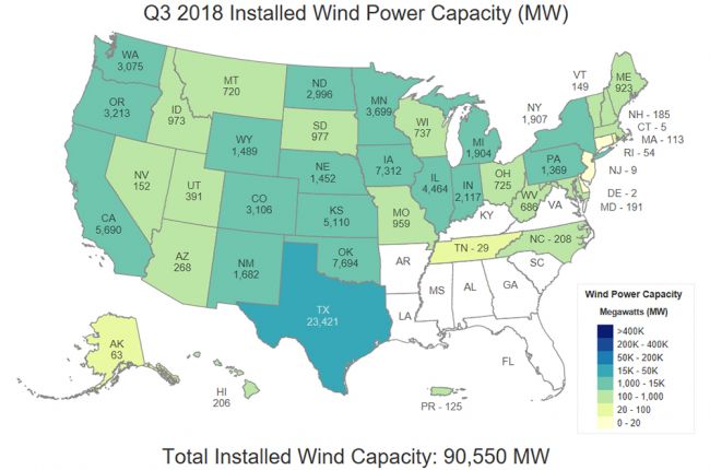
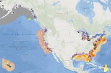
The U.S. Department of Energy's Installed Wind Capacity map shows the current installed wind power capacity in each U.S. state, as well as yearly installed capacity maps dating back to 1999, which collectively show the growth of U.S. wind energy over time.
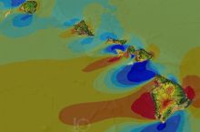
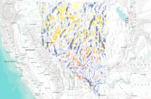
These maps are part of the Department of Energy's WINDExchange website, which hosts a wide variety of wind resource maps. These include maps of the potential wind capacity across the entire United States, as well as other maps useful for determining the potential viability of wind power in different parts of the country.
Click here to access the DoE's Installed Wind Capacity map.
Click here to access all of the DoE's available wind maps and data, including maps and data by state.
Source: U.S. Department of Energy


