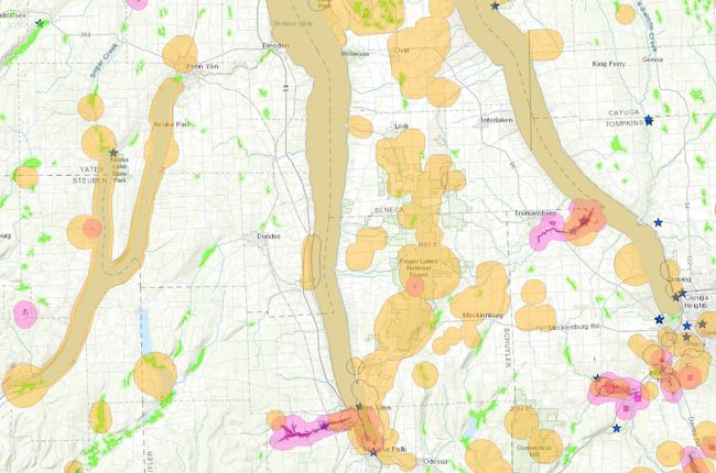
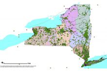
The New York State Department of Environmental Conservation's Environmental Resource Mapper provides information on environmental resources and regulations in New York State. The interactive map includes:
- Waterbody classifications for lakes, rivers, and streams
- State-regulated freshwater wetlands
- Federally regulated wetlands
- Notable geologic features and landforms
- Significant natural communities, rare plants, and rare animals
Through this interactive map, users can also find links to more information, permitting requirements, and contacts for more detailed queries.
Click here to access the interactive map.
Source: New York State Department of Environmental Conservation

