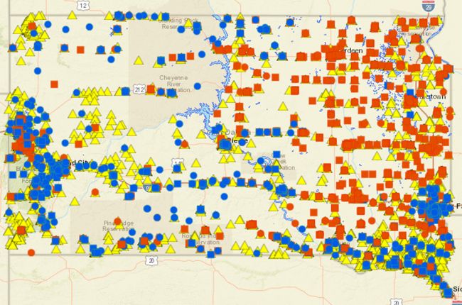
The South Dakota Department of Environment & Natural Resources provides an interactive map of reported spills in the state (yellow triangles in picture above). Spills are reported for hazardous or environmentally harmful materials such as oil, gasoline, pesticides, solvents, acids, and other industrial chemicals. Spill information is provided from the early 1970s to the present and include information on the source, material, location, and date of the spill. Users can download a report for each spill containing more detailed information including spill volume, containment, and cleanup.
The map also includes information about storage tanks and facilities with potentially hazardous chemicals
Click here to access the interactive map.
Source: South Dakota Department of Environment & Natural Resources

