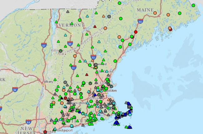
The U.S. Geological Survey's New England Water Science Center hosts an interactive map that displays current water conditions for each state in New England. The map has real-time, geolocated water data for New England, including:
- Surface water levels, including streamflow conditions
- Ground water levels
- Water quality data, including temperature, pH, and turbidity
The map, which is navigable on desktop computers and mobile devices, includes data for Connecticut, Massachusetts, Maine, New Hampshire, Rhode Island, and Vermont. Color-coded symbols at each site indicate if the water levels are above or below normal, and users may access downloadable data from the National Water Information System by clicking on a symbol.
Click here to access the interactive map.
Source: U.S. Geological Survey


