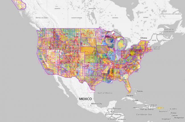
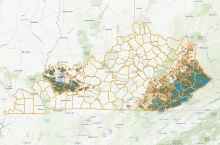
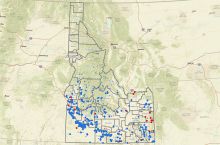
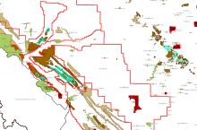
The U.S. Geological Survey hosts the National Geologic Map Database (NGMDB). This interactive tool serves as a national archive for high-quality, standardized geologic maps created by the U.S. Geological Survey and state geological surveys.
The MapView section of the NGMDB displays geologic maps from across the country dating back to 1879. The database is searchable by address, and results can be narrowed further using scale and date filters.
Zooming in and clicking on a specific map shows the map title and gives options to browse similar maps and access related publications.
The NGMDB also has a similar tool for topographic maps.
All maps are downloadable in multiple formats.
Click here to access the interactive database.
Source: U.S. Geological Survey

