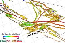
The California Geological Survey’s Earthquake Hazards Zone Application (EQ Zapp) is an interactive map that details the risk of earthquakes and related hazards for different areas of the state.
The map is searchable by address, and it maps three main hazard zones:
- Fault zones
- Landslide zones
- Liquefaction zones
The map also displays areas that have not yet been evaluated for liquefaction or landslides.
Click here to access the interactive map.
Source: California Geological Survey


