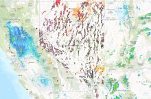
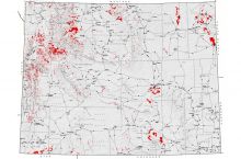
The U.S. Geological Survey conducts post-fire debris-flow hazard assessments for many major fires across the Western United States. The information from these assessments is provided in an interactive map, allowing users to view fires by location or name and access detailed maps of debris-flow probability in the area affected by each fire. Users can select fires by year back to 2013.
From this page, users can also access information about how the assessments are conducted, as well as advice on what to do if you live in a recently burned area and there is a rainstorm that could trigger debris flows.
Click here to access the interactive map.
Source: U.S. Geological Survey


