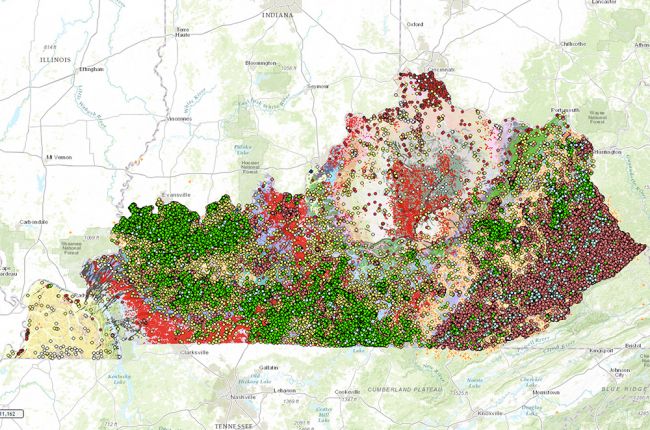
The Kentucky Geological Survey's interactive map provides a large amount of information on Kentucky's geology and natural resources in interactive map form, including:
- Surface geology
- Coal, oil, and gas resources
- Water wells and springs
- Hazards - sinkholes and landslides
- Mineral resources
- Aerial images, some LiDAR imagery, and outcrop photos
The map allows users to select multiple layers that can be overlain on each other. By doing this, users can see how different features are related. Users can click on individual points (wells, formations, quarries, etc.) for more information, reports, logs, and data.
Click here to access the Kentucky Geological Survey's interactive map
Source: Kentucky Geological Survey

