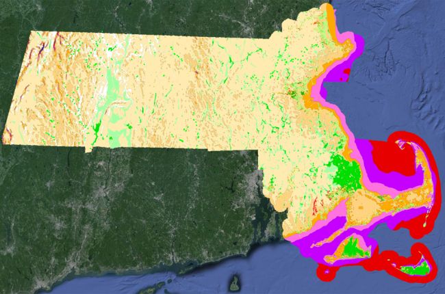
The Massachusetts Office of Geographic Information's "OLIVER" Online Mapping Tool provides a huge amount of information on Massachusetts' geology, natural resources, and hazards in interactive map form, including:
- Surface and bedrock geology
- Water resources and water quality
- Hazards - hurricane inundation zones and flood hazards
- Land use, including changes over time
- Soils
- Wind power density
- Waste management
The map allows users to select multiple layers that can be overlain on each other. By doing this, users can see how different features are related. A wide variety of additional layers are also available, including information on infrastructure, demographics, coastal and marine features, conservation, recreation, political and administrative boundaries, regulated areas, hydrography, insect infestations, and more.
The map also allows users to export the data for further use and analysis.
Click here to access the MassGIS "OLIVER" Online Mapping Tool.

