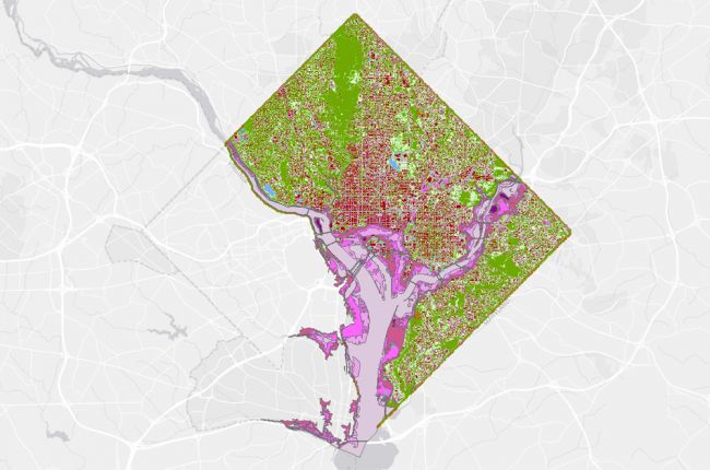
The District of Columbia's Office of the Chief Technology Officer makes a huge amount of information available in interactive map form. The DC Atlas Plus map has over 340 layers of publicly available map data on a huge range of topics, including transportation, public facilities, demographics, cultural and social locations, planning and zoning, and geoscientific data. The geoscience layers available include information on:
- Hazards - floods, hurricane storm surge risk, and hazardous waste locations
- Waste management
- Land cover / land use
- Soils
Click here to access the DC Atlas Plus map.


