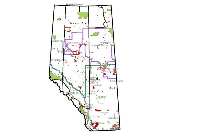
Alberta Energy (a ministry of the Government of Alberta) provides an interactive map with basic information on oil sand regions (and oil and gas more broadly) in Alberta. The map includes:
- Mineral ownership information
- Mineral restrictions for oil sands and PNG (petroleum/natural gas)
- Oil sands and PNG agreements
- Alberta Department of Energy boundaries (Plains, Northern, Foothills) and oil sands areas (Cold Lake, Athabasca, and Peace River 1 and 2)
- Parcels by sale date
Other layers include roads and railways, topography, lakes and rivers, parks and protected areas, and municipalities.
Click here to access the interactive map
Source: Alberta Energy


