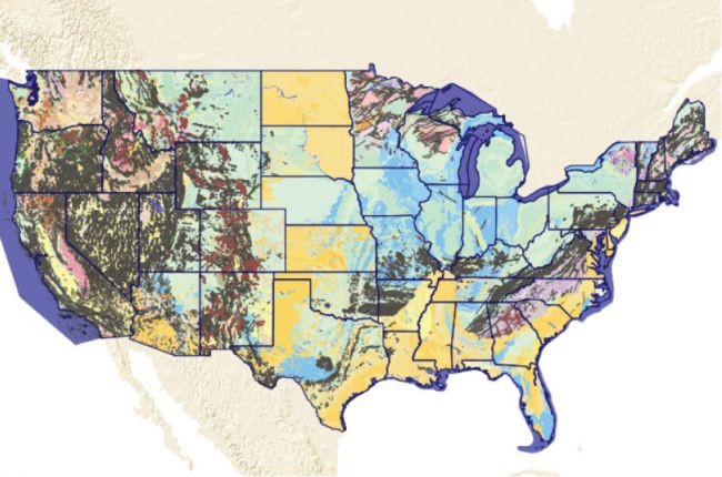
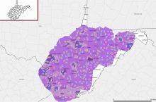
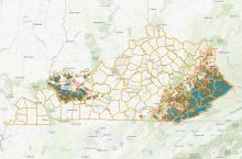
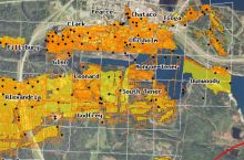
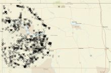
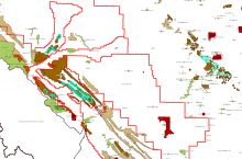
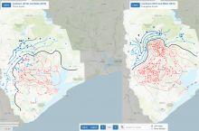
The U.S. Geological Survey's (USGS) Mineral Resources Program's interactive Geologic Map of U.S. States provides a large amount of information on geology, natural resources, and environmental data for every U.S. state, including:
- Surface and bedrock geology
- Mineral resources
- Geochemical and geophysical data
- Water monitoring sites
- Partial soil and land use data
All of the maps are also available as Google Earth files that can be downloaded and used on personal computers and mobile devices.
Click here to access the USGS's Geologic Map of U.S. States.
Source: USGS Mineral Resources Program


