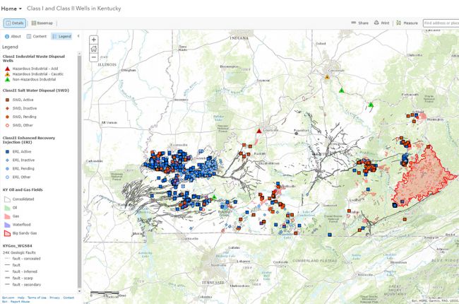
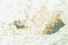
The Kentucky Geological Survey's interactive map of Class I and II wells provides the locations of disposal and injection wells in the state of Kentucky. The wells displayed on the map are those used for industrial waste disposal (Class I), salt water (brine) disposal (Class II), and enhanced recovery wells for oil and gas production (Class II). The map allows users to select individual wells to access more detailed information, such as the operational status of the well, the company associated with the well, the accompanying geologic formation, and more.
The map also provides information on a variety of other geoscience features in Kentucky, including:
- Geological formations and faults
- Coal beds
- Oil and gas fields
- Karst potential
Click here to access the interactive map of disposal and injection wells in Kentucky.
Source: Kentucky Geological Survey


