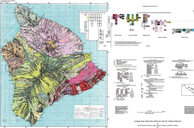
The United States Geological Survey's (USGS) geologic map of the state of Hawai'i provides a series of printable color maps of the surface geology for each island in the state of Hawai'i. Users can also download metadata for the maps, GIS database files, and spreadsheets of geochemical and radiometric age data for different lava flows.
Click here to access the USGS geologic map of Hawai'i.
Source: U.S. Geological Survey


