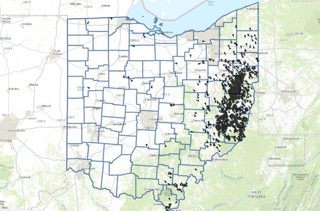
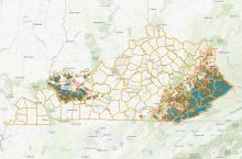
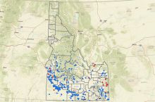
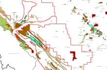
The Ohio Department of Natural Resources, Division of Oil & Gas Resources provides an interactive map of the location, status, and type of oil and gas wells across the state of Ohio. The map also includes information on oil and gas fields, groundwater protection, and flood risk (100-year floodplain).
Oil and gas well data can be downloaded by county for further use and analysis.
Click here to access the interactive map of Ohio's oil and gas wells.
Source: Ohio Department of Natural Resources Division of Oil & Gas Resources

