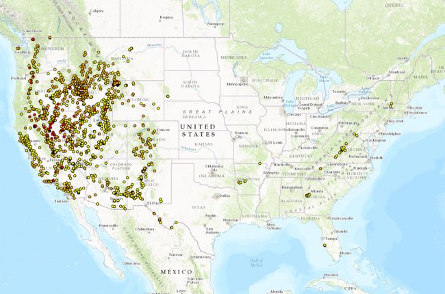
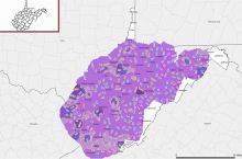
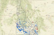
The National Oceanic and Atmospheric Administration's thermal springs map displays the location and temperature of thermal springs throughout the U.S. The hot springs shown on the map are color-coded based on recorded temperature (red = boiling, orange = hot, yellow = warm, black = information not available). Users can click on individual hot spring locations to find the hot spring name, location, and most recently recorded temperature.
Click here to use the thermal springs viewer.

