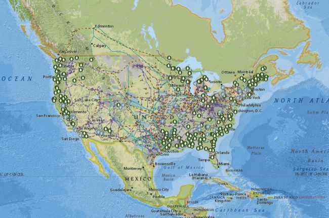
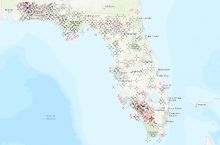
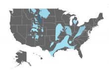
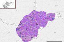
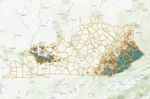
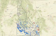
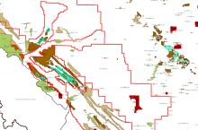
The Energy Information Administration Energy Mapping System provides an interactive map of U.S. power plants, pipelines and transmission lines, and energy resources. Using the map tool, users can view a selection of different map layers displaying the location and information about:
- all power plants (biomass; coal; geothermal; hydroelectric; natural gas; nuclear; petroleum; solar; wind; wood power)
- oil and gas refining facilities; pipelines; oil and gas wells
- fossil fuel resources (coal, oil, and gas)
- biomass resource potential
- geothermal resource potential
- solar resource potential
- wind resource potential
Click here to use the U.S. Energy Mapping System


