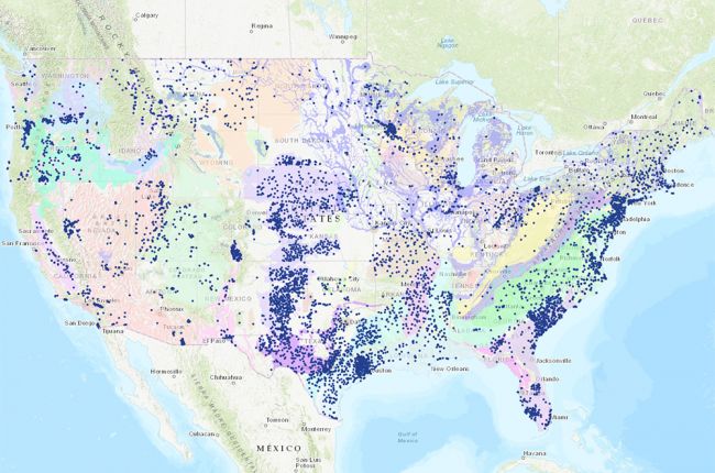
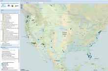
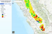
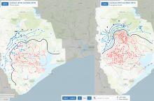
The National Ground-Water Monitoring Network compiles information from over 7,000 groundwater monitoring wells across the country, including Federal, State, and local groundwater monitoring networks. Although the image above only shows the contiguous United States, the interactive map also includes wells from Alaska, Hawaii, Puerto Rico, Guam, and the U.S. Virgin Islands.
Users can filter and select data on water levels and quality from a wide variety of agencies. Data can be downloaded for further use and analysis. Also shown are major aquifers to provide additional context for the well data
Click here to access the interactive map.
Source: U.S. Geological Survey


