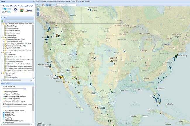
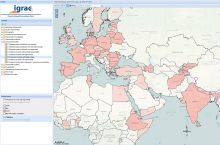
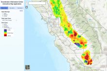
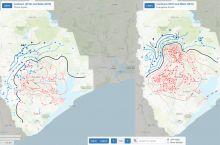
The International Groundwater Resources Assessment Centre (IGRAC) hosts an interactive map that compiles over a thousand managed aquifer recharge (MAR) case studies from over 50 countries. The MAR Portal is one of several groundwater related maps within the IGRAC global groundwater information system.
The map includes layers showing the main objectives, the techniques used, the water source and the final use of the abstracted water in each MAR project. These can be shown alongside other layers which show climate zones, regional groundwater resources and recharge, groundwater vulnerability, drought hazards, and more. For some regions, including Costa Rica, Jordan, the Pajaro Valley in the USA, North Kenya, Spain and South Africa, the MAR Portal includes MAR suitability maps, which provide high-resolution information about the suitability of the regional aquifers for MAR.
Users can add layers from any of the other IGRAC global groundwater information system maps, which include a hydrogeological map of the world, aquifer characteristics, agricultural water usage, demographics, and more, by clicking on the green "+" symbol on the upper right of the screen. The User Manual describes how to use the MAR Portal and explores some of its more advanced features.
Click here to access the interactive map.
Source: International Groundwater Resources Assessment Centre

