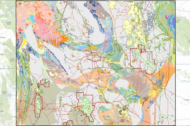
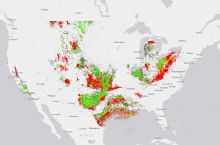
The Wyoming State Geological Survey makes a large amount of information on oil and gas in the state available in interactive map form. The map includes:
- Oil and gas fields, with specific characteristics and the number and type of wells for each field
- Detailed maps of well locations
- Oil refineries
- Gas plants
- Major pipelines
Additional layers include bedrock geology, major geological features, hydrology, roads and railways, cities and towns, and major administrative boundaries.
Users can click on different features to access additional information, including basin production over time, geological descriptions, detailed field information, and owners of wells, pipelines, and other infrastructure, with links to additional information from industry websites.
Click here to access the interactive map of oil and gas resources in Wyoming.
Source: Wyoming State Geological Survey


