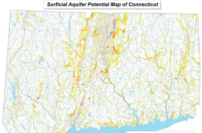
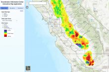
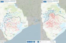
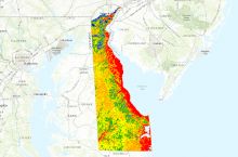
The Connecticut Geological Survey's (CGS) map of surficial aquifer potential shows the areas with high potential for groundwater supply based on the thickness of coarse-grained deposits. Colors on the map indicate the thickness of coarse-grained deposits and the thickness of fine-grained deposits where they occur over coarse-grained sediments.
Click here to access the CGS's map of surficial aquifer potential in Connecticut.
Source: Connecticut Geological Survey

