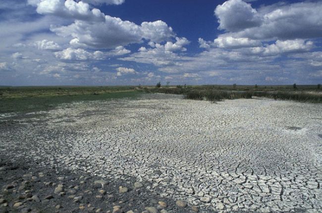
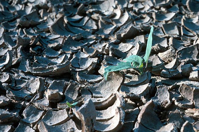
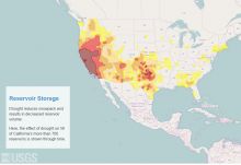
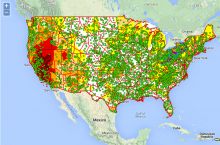
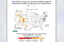
Drought is a water shortage caused by abnormally dry weather. Drought is relative to normal conditions, so weather conditions that create severe drought in a state like Georgia may be normal for an arid state such as Arizona. All regions of the United States have some drought risk. The impact of a drought depends not only on the severity of dry weather but also on local water use and supply. To identify and forecast drought, scientists and managers must monitor not only precipitation but also water demand and available water resources. These resources may be found in reservoirs, in rivers, in the soil, and underground as groundwater.
Extreme drought is part of natural climatic cycles around the world. Historic records and prehistoric reconstructions extending back 1000 years document that extreme droughts have occurred repeatedly in North America, sometimes for longer periods than even the most severe droughts of the 20th century.[1] Research on climate variability is addressing how drought may impact the United States in the future.
Why does drought matter?
Drought has many direct and indirect impacts on the economy, the environment, and public health.[2] Drought has an enormous impact on the United States. Since 1980, drought has caused more than $225 billion in damages to the national economy.[3] Social impacts of drought can include health problems, loss of human life, and disruption to livelihoods and recreation.[2]
How does geoscience help inform decisions about drought?
Geoscientists use software models and paleoclimate data to study past droughts and predict how drought may impact the United States in the future. Geoscientists also use hydrology and hydrogeology to study water use and the availability of surface- and groundwater to predict how short-term rainfall or snowpack shortages will affect water supplies.
References
1 Drought in the United States: Causes and Current Understanding. Congressional Research Service
2 Types of Drought Impacts, National Drought Mitigation Center
3 Billion-Dollar Weather and Climate Disasters, National Climatic Data Center
Learn More
Introductory Resources
- Drought Basics (Webpage), National Drought Mitigation Center
This webpage includes a drought glossary, definition of drought and types of drought, and explanation of drought forecasting, climatology, and historical climate studies. Includes a Also provides a history of the Dust Bowl in the United States.
Resources for Educators
- Education Resources Network, AGI's Center for Geoscience & Society
Search for drought resources in: Curricula & Instruction, Teaching Media, Outreach Programs
- NGSS Performance Expectations, Next Generation Science Standards
K-ESS2-1, 2-ESS2-3, 3-ESS2-1, 3-ESS2-2, 5-ESS2-2, MS-ESS2-4, MS-ESS2-5, MS-ESS2-6, HS-ESS2-2, HS-ESS2-4, HS-ESS2-6, MS-LS1-5, HS-LS4-5
- NGSS Disciplinary Core Ideas, Next Generation Science Standards
ESS2.C, ESS2.D, LS1.B, LS4.C

