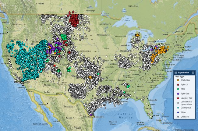
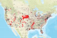
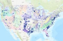
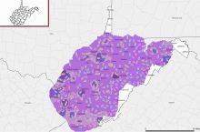
The U.S. Geological Survey's Produced Waters app provides information on over 100,000 samples of produced water from the oil and gas industry, waters extracted from hydrothermal systems (geothermal water), and some additional water wells.
The app is in the form of an interactive map showing the locations and types of wells from which waters have been sampled. Users can click on a single well or look at a wide variety of wells over an area to get detailed information on the geological formation from which the water is sourced, the depth of each well, and the pH and chemical composition of the water.
Click here to access the USGS Produced Waters app.
Source: U.S. Geological Survey


