Geoscience in Your State: New Jersey

PDF versionPDF version
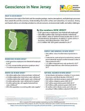
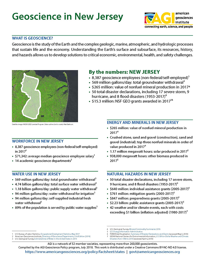
Cover of Geoscience Policy State Factsheet. Image credit: AGI

By the numbers: New Jersey

  • 8,387 geoscience employees (excludes self-employed)1
  • 569 million gallons/day: total groundwater withdrawal3
  • $265 million: value of nonfuel mineral production in 20174
  • 50 total disaster declarations, including 17 severe storm, 9 hurricane, and 8 flood disasters (1953-2017)⁶
  • $15.3 million: NSF GEO grants awarded in 201714...

Agencies Working on Geoscience Issues in new jersey

New Jersey Department of Environmental Protection

On America's first official ""Earth Day"" — April 22, 1970, the New Jersey Department of Environmental Protection was born. New Jersey became the third state in the country to consolidate its past programs into a unified major agency to administer aggressive environmental protection and conservation efforts. Former Governor William T. Cahill appointed Richard J. Sullivan as the first commissioner. Since that day, NJDEP began a role to manage natural resources and solve pollution problems. In what started with about 1,400 employees in five divisions, NJDEP now has a staff of approximately 2,900 and is a leader in the country for its pollution prevention efforts and innovative environmental management strategies.

New Jersey Geological Survey

The mission of the New Jersey Geological Survey includes geoscience mapping, research and interpretive roles as well as water resource planning and regulatory functions.

New Jersey Office of Emergency Management

The Emergency Mangagement section is responsible for planning, directing and coordinating emergency operations within the State of New Jersey which are beyond local control.

Case Studies & Factsheets

Cover of Geoscience Policy State Factsheet. Image credit: AGI
By the numbers: New Jersey 8,387 geoscience employees (excludes self-employed)1 569 million gallons/day: total groundwater withdrawal3 $265 million: value of nonfuel mineral production in 20174 50 total disaster declarations, including 17 severe storm, 9 hurricane, and 8 flood disasters (1953-...

Cover of AGI Factsheet 2018-004 - Present Day Climate Change

Climate Science 101 Climate is the average of weather conditions over several decades.1,2 Geoscientists monitor modern climate conditions (1880 A.D. to present) in part by taking direct measurements of weather data (i.e., air temperature, rainfall and snowfall, wind speed, cloudiness, and so on)...

CI_Factsheet_2017_5_drywellprograms_170906_thumb.JPG

Introduction Dry wells improve stormwater drainage and aquifer recharge by providing a fast, direct route for rainwater to drain deep into underlying sediment and rock. Dry wells are most common in the western U.S. where clay or caliche layers slow down the natural drainage of water into underlying...

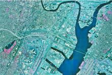
Fig. 1. Densely built urban areas on soft soils are prone to earthquake damage. Geologic maps provide vital information on the extent of these soils. Credit: N.J. Department of Environmental Protection

Geologic mapping provides the data foundation that makes soil mapping and earthquake simulations possible. This approach also can be used to predict damage in areas where the historical record indicates a risk of potential earthquakes. Defining the Problem The density and value of its buildings...