Geoscience in Your State: Wisconsin

PDF versionPDF version
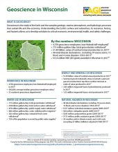
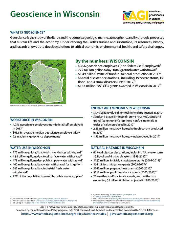
Cover of Geoscience Policy State Factsheet. Image credit: AGI

By the numbers: Wisconsin

  • 4,756 geoscience employees (excludes self-employed)1
  • 772 million gallons/day: total groundwater withdrawal3
  • $1.49 billion: value of nonfuel mineral production in 20174
  • 46 total disaster declarations , including 19 severe storm, 15 flood, and 4 snow disasters (1953-2017)⁶
  • $12.4 million: NSF GEO grants awarded in Wisconsin in 2017...

Agencies Working on Geoscience Issues in wisconsin

Wisconsin Department of Natural Resources

To protect and enhance our natural resources (our air, land and water; our wildlife, fish and forests; and the ecosystems that sustain all life). To provide a healthy, sustainable environment and a full range of outdoor opportunities. To ensure the right of all people to use and enjoy these resources in their work and leisure. To work with people to understand each other's views and to carry out the public will. And in this partnership consider the future and generations to follow.

Wisconsin Emergency Management

Wisconsin Emergency Management (WEM) coordinates effective disaster response and recovery efforts in support of local governments. 

Wisconsin Geological & Natural History Survey

The Wisconsin Geological & Natural History Survey conducts earth-science surveys, field studies, and research. We provide objective scientific information about the geology, mineral resources, water resources, soil, and biology of Wisconsin.

Case Studies & Factsheets

CI_Factsheet_2017_3_Deicing_170712_thumb

Background In areas prone to winter precipitation, transportation infrastructure must be able to quickly respond to snow and ice on roadways. Ice removal is a vital service in these communities. Deicing chemicals melt ice by lowering the temperature at which it melts. They can also prevent new ice...

CI_Factsheet_2017_5_drywellprograms_170906_thumb.JPG

Introduction Dry wells improve stormwater drainage and aquifer recharge by providing a fast, direct route for rainwater to drain deep into underlying sediment and rock. Dry wells are most common in the western U.S. where clay or caliche layers slow down the natural drainage of water into underlying...

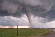
Tornado funnel. Image Credit: NOAA

Remote sensing imagery is used by researchers at the University of Wisconsin–Madison to support recovery efforts after a tornado. Defining the Problem Following a tornado, first responders need maps of the width and location (swath) of the damage area. The biggest challenge when integrating remote...

Cover of Geoscience Policy State Factsheet. Image credit: AGI

By the numbers: Wisconsin 4,756 geoscience employees (excludes self-employed)1 772 million gallons/day: total groundwater withdrawal3 $1.49 billion: value of nonfuel mineral production in 20174 46 total disaster declarations , including 19 severe storm, 15 flood, and 4 snow disasters (1953-2017)...

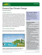
Cover of AGI Factsheet 2018-004 - Present Day Climate Change

Climate Science 101 Climate is the average of weather conditions over several decades.1,2 Geoscientists monitor modern climate conditions (1880 A.D. to present) in part by taking direct measurements of weather data (i.e., air temperature, rainfall and snowfall, wind speed, cloudiness, and so on)...