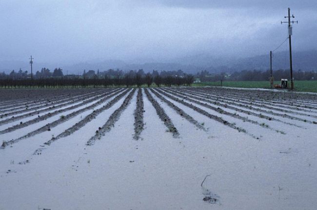
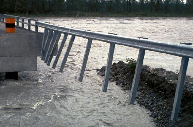
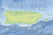
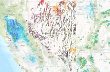
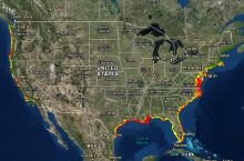
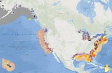
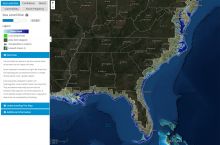
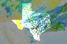
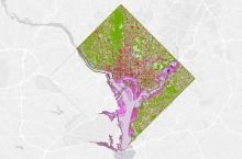
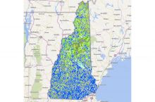
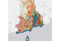
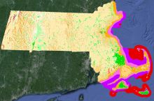
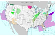
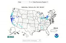
Flooding has many causes, including heavy rain, snow melting too fast, and dams or levees breaking. Coastal flooding occurs during hurricanes from heavy rainfall and storm surge, which causes sea level to rise temporarily at the shore.
Why do floods matter?
Flooding is the most common, and costliest, natural hazard facing the United States. The National Weather Service published reports on flood damages and deaths until 2014. From 1984 to 2014 floods caused an average of $8 billion in damages and 82 deaths per year nationwide.[1]
How does geoscience help inform decisions about flood hazards?
Geoscientists study water and fluid flow, monitor streamflow, and map out past flooding events and likely inundation zones to understand how and where flooding occurs and inform the public about flood risk. They also design structures to reduce flooding impacts and inform land-use managers and policy makers to establish best practices for flood management.
References
[1] Storm Events Database, National Centers for Environmental Information, NOAA, https://www.ncdc.noaa.gov/stormevents/
Learn More
Introductory Resources
- Severe Weather 101: Flood Basics (Webpage) National Severe Storms Laboratory/NOAA
Answers to basic questions about flood hazards, areas that are most at risk for flooding, and definitions of flood watches, warnings, advisories, statements.
- Ready.gov - Floods (Webpage), FEMA
Short article on flood hazards, what to do before/during/after flooding, flood insurance, and links to tools/resources on spring flooding.
- Assessing, Mitigating, and Communicating Flood Risk (Webinar), American Geosciences Institute
2017 Webinar on flood risk assessment, mitigation, and communication efforts in the U.S. from national to state and local levels - includes many additional resources on flood risk in your area.
Resources for Educators
- Education Resources Network, AGI's Center for Geoscience & Society
Search for flood resources in: Curricula & Instruction, Teaching Media
- NGSS Performance Expectations, Next Generation Science Standards
K-ESS3-2, 3-ESS3-1, 4-ESS3-2, MS-ESS3-2, HS-ESS3-1
- NGSS Disciplinary Core Ideas, Next Generation Science Standards
ESS3.B
Frequently Asked Questions
Do you have a question that's not listed here? Search all FAQs

