By the numbers: Minnesota
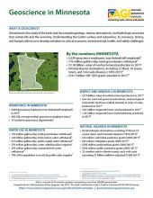
- 6,639 geoscience employees (excludes self-employed)1
- 776 million gallons/day: total groundwater withdrawal3
- $3.18 billion: value of nonfuel mineral production in 20174
- 60 total disaster declarations, including 25 flood, 24 severe storm, and 3 tornado disasters (1953-2017)6
- $16.7 million: NSF GEO grants awarded in 2017...
Agencies Working on Geoscience Issues in minnesota
The BWSR mission is to improve and protect Minnesota's water and soil resources by working in partnership with local organizations and private landowners. Core functions include implementing the state's soil and water conservation policy, comprehensive local water management, and the Wetland Conservation Act as it relates to the 41.7 million acres of private land in Minnesota
The mission of the Minnesota Department of Commerce is to protect the public interest, advocate for Minnesota consumers, ensure a strong, competitive and fair marketplace, strengthen the state’s economic future; and serve as a trusted public resource for consumers and businesses.
The mission of the Minnesota Department of Natural Resources is to work with citizens to conserve and manage the state's natural resources, to provide outdoor recreation opportunities, and to provide for commercial uses of natural resources in a way that creates a sustainable quality of life.
The Environmental Quality Board is made up of 9 agency heads and 8 citizen members. In addition to other duties, they provide leadership and coordination across agencies on priority environmental issues that are multi-jurisdictional, and multi-dimensional, as well as provide for opportunities for public access and engagement.
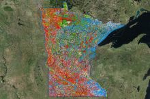
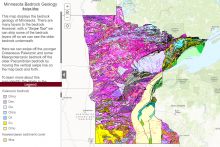
The MGS serves the people of Minnesota by providing systematic geoscience information to support stewardship of water, land, and mineral resources.
The Geospatial Commons is a one-stop catalog for Minnesota featuring open data which can be added to maps and research projects. Easily searched or browsed by contributing organization or theme, the Commons is steadily adding new resources.
The Division of Homeland Security and Emergency Management helps Minnesotans prevent, prepare for, respond to and recover from disasters and works to keep Minnesota secure from acts of terrorism.
The Minnesota Pollution Control Agency (MPCA) monitors environmental quality, offers technical and financial assistance, and enforces environmental regulations. The agency finds and cleans up spills or leaks that can affect public health and the environment. Staff develop statewide policy, and support environmental education.


