Geoscience in Your State: Texas

PDF versionPDF version
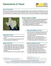
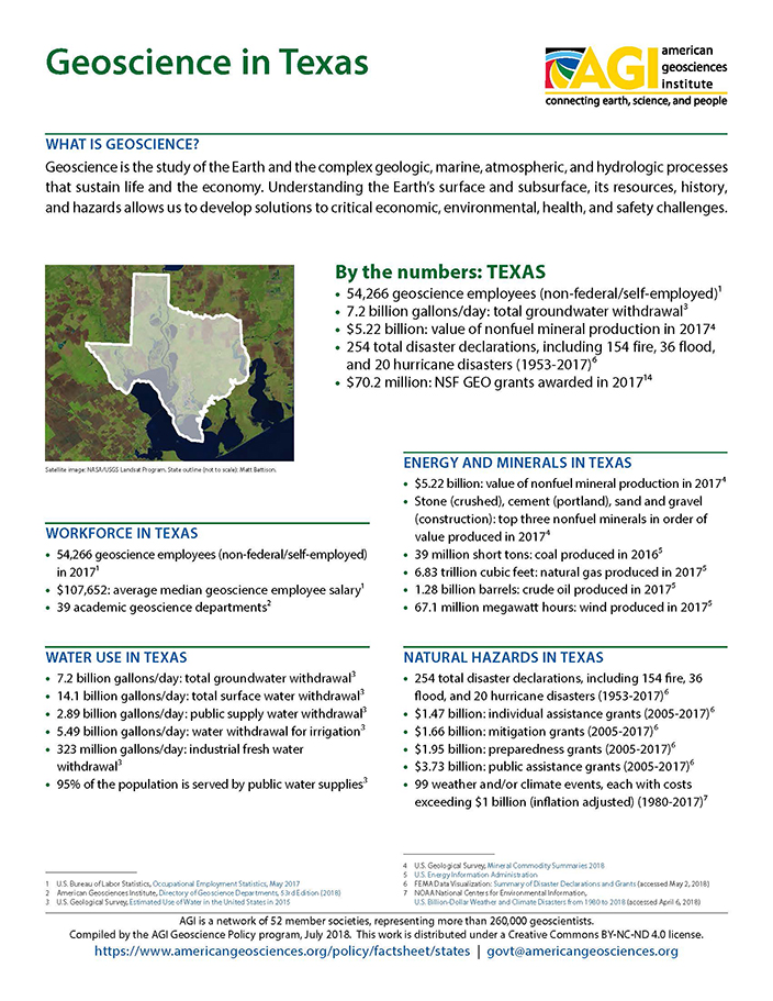
Cover of Geoscience Policy State Factsheet. Image credit: AGI

By the numbers: Texas

  • 54,266 geoscience employees (excludes self-employed)1
  • 7.2 billion gallons/day: total groundwater withdrawal3
  • $5.22 billion: value of nonfuel mineral production in 20174
  • 254 total disaster declarations, including 154 fire, 36 flood, and 20 hurricane disasters (1953-2017)⁶
  • $70.2 million: NSF GEO grants awarded in 201714...

Agencies Working on Geoscience Issues in texas

Bureau of Economic Geology

In addition to functioning as the State Geological Survey of Texas, the Bureau of Economic Geology in the Jackson School of Geosciences conducts research focusing on the intersection of energy, the environment, and the economy, where significant advances are being made tackling tough problems globally. The Bureau partners with federal, state, and local agencies, academic institutions, industry, nonprofit organizations, and foundations to conduct high-quality research and disseminate the results to the scientific and engineering communities as well as to the broad public.

Texas Commission on Environmental Quality

The Texas Commission on Environmental Quality strives to protect the state's public health and natural resources consistent with sustainable economic development. Our goal is clean air, clean water, and the safe management of waste.

Texas Division of Emergency Management

The Texas Division of Emergency Management (TDEM) coordinates the state emergency management program, which is intended to ensure the state and its local governments respond to and recover from emergencies and disasters, and implement plans and programs to help prevent or lessen the impact of emergencies and disasters.

Texas State Soil & Water Conservation Board

The Texas State Soil and Water Conservation Board (TSSWCB) is the state agency that administers Texas’ soil and water conservation law and coordinates conservation and nonpoint source water pollution abatement programs throughout the State.

Texas Water Development Board

The mission of the Texas Water Development Board (TWDB) is to provide leadership, information, education, and support for planning, financial assistance, and outreach for the conservation and responsible development of water for Texas.

Case Studies & Factsheets

CI_Factsheet_2017_7_ValleyFever_171205_thumb.JPG

What grows in arid, sandy soils? How do these soils become dust? Many small organisms, such as bacteria and fungi, grow among the sand and silt particles in dry valley and desert soils. At the soil’s surface, these organisms often form biological webs (“microbiotic crusts”) that keep small sand and...

Cover of Geoscience Policy State Factsheet. Image credit: AGI

By the numbers: Texas 54,266 geoscience employees (excludes self-employed)1 7.2 billion gallons/day: total groundwater withdrawal3 $5.22 billion: value of nonfuel mineral production in 20174 254 total disaster declarations, including 154 fire, 36 flood, and 20 hurricane disasters (1953-2017)⁶...

Cover of Air Quality Impacts of Oil and Gas

Introduction All widely used combustible fuels emit harmful (toxic or ozone-forming) gases and particles when burned to provide energy. These air pollutants can have a wide array of public health impacts, such as increasing the rate of certain cardiovascular (heart) and pulmonary (lung) diseases,...

Cover of What Determines the Location of a Well

Introduction Oil- and gas-rich rocks are only found in certain parts of the United States, so most of the country has no oil or gas wells. Where oil and gas production is commercially viable, many factors determine the exact location of each well, including leasing, permitting, competing land uses...

Cover of Offshore Oil and Gas

Introduction Many of the world’s oil and gas resources lie beneath the oceans. Advances in exploration, drilling, and production technologies allow production in water more than 10,000 feet deep and more than 100 miles offshore. Major spills are rare but damage sensitive ocean and coastal...

CI_Factsheet_2017_2_groundwater_170309_thumb.JPG

Fresh water from underground Groundwater is any water found underground in the cracks and pores in soil, sand, or rock. Groundwater provides 25% of the fresh water used in the United States.1 It is particularly important for irrigation and domestic uses in arid or remote areas, where surface water...

CI_Factsheet_2017_3_Deicing_170712_thumb

Background In areas prone to winter precipitation, transportation infrastructure must be able to quickly respond to snow and ice on roadways. Ice removal is a vital service in these communities. Deicing chemicals melt ice by lowering the temperature at which it melts. They can also prevent new ice...

Cover of Induced Seismicity from Oil and Gas Operations

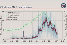
Manmade Earthquakes Any activity that significantly changes the pressure on or fluid content of rocks has the potential to trigger earthquakes. This includes geothermal energy production, water storage in large reservoirs, groundwater extraction, underground injection of water for enhanced oil...

Cover of AGI Factsheet 2018-004 - Present Day Climate Change

Climate Science 101 Climate is the average of weather conditions over several decades.1,2 Geoscientists monitor modern climate conditions (1880 A.D. to present) in part by taking direct measurements of weather data (i.e., air temperature, rainfall and snowfall, wind speed, cloudiness, and so on)...

CI_CaseStudy_2018_3_RipsBeachAccess_cover.PNG

What is a rip current? Rip currents are fast, concentrated flows of water that can form on beaches that have breaking waves.1 Every beach is different, but rips generally form when waves are breaking and the underwater surface is uneven (e.g., if there are sandbars, piers, jetties, or groins along...

CI_Factsheet_2017_5_drywellprograms_170906_thumb.JPG

Introduction Dry wells improve stormwater drainage and aquifer recharge by providing a fast, direct route for rainwater to drain deep into underlying sediment and rock. Dry wells are most common in the western U.S. where clay or caliche layers slow down the natural drainage of water into underlying...

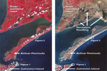
Pre-Ike (left) and post-Ike (right) ASTER imagery of Galveston Island, the Bolívar Peninsula, and the mainland in August 2006. Healthy (red) and dead (brown) vegetation shows storm surge inundation effects. Image Credit: Jesse Allen, NASA Earth Observ.

Hurricanes bring not only intense rainfall, but also high winds and flooding. This flooding is powered by the hurricane storm surge: a rise in coastal sea level caused by lowered barometric pressure and by wind blowing the ocean onto the land. The result is that waves and currents affect areas that...

Cover of Groundwater Protection in Oil and Gas Production

Introduction The United States relies on groundwater for roughly 25% of its fresh water.1 This groundwater is found in porous, permeable rocks (aquifers) that often lie close to the Earth’s surface – the deepest freshwater aquifers are found more than 6,000 feet underground,2 but most are much...

Cover of Abandoned Wells

Introduction In 2017, there were one million active oil and gas wells in the United States.1 When a well reaches the end of its productive life, or if it fails to find economic quantities of oil or gas, the well operator is required by regulators to remove all equipment and plug the well to prevent...

Cover of Water Sources for Hydraulic Fracturing

Hydraulic Fracturing and Water Demand Hydraulically fracturing a modern well can require millions of gallons of water for the initial fracturing process. This is a potential problem in arid regions with competing demands for fresh water (i.e. high water stress), such as Colorado and West Texas (see...

Cover of Using Produced Water

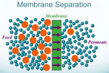
Opportunities and Concerns in Using Produced Water Produced water is natural groundwater that is extracted along with oil and gas. It is commonly salty and mixed with oil residues,1 so it must be either disposed of or treated and reused. About 2.5 billion gallons of produced water are extracted...
1 of 16